Cover your tracks
Track record
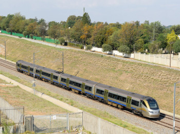
The conventional approach to monitoring potential geohazards, including slope stability and sinkholes, along the extensive Gautrain network spanning from Johannesburg to Pretoria was not only time-consuming and costly, but also reliant on subjective assessment. However, adopting InSAR analysis and integrating the resulting data into a comprehensive GIS platform proved an effective solution to these challenges.
These methodologies not only accelerate the geohazard detection and identification processes, but also enhances objectivity enabling the prompt pinpointing of areas warranting in-depth local assessment. Moreover, the extent of displacement could be demonstrated in a colour-coded scale that clearly shows stakeholders which areas are at the most immediate risk, and which to monitor in the near future. The InSAR data integrated to the GIS platform makes it far more efficient for in-situ operatives to target specific areas of interest. This proactive approach holds the key to substantial cost savings by addressing issues early on, underscoring the economic importance of detecting geohazards in good time.
Highlights
- Monitoring the condition of the whole rail network was time-consuming and subjective.
- InSAR analysis provided historical and current displacements for the whole network.
- Outputs were presented on an accessible GIS platform of the railway corridor.
- Problematic locations for further targeted investigation were identified easily and objectively.