Landslide Susceptibility
Updated landslide susceptibility
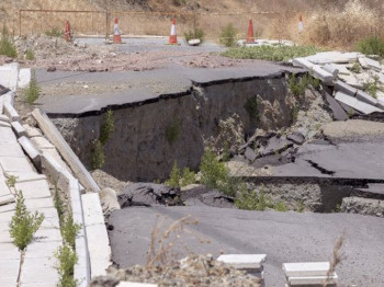
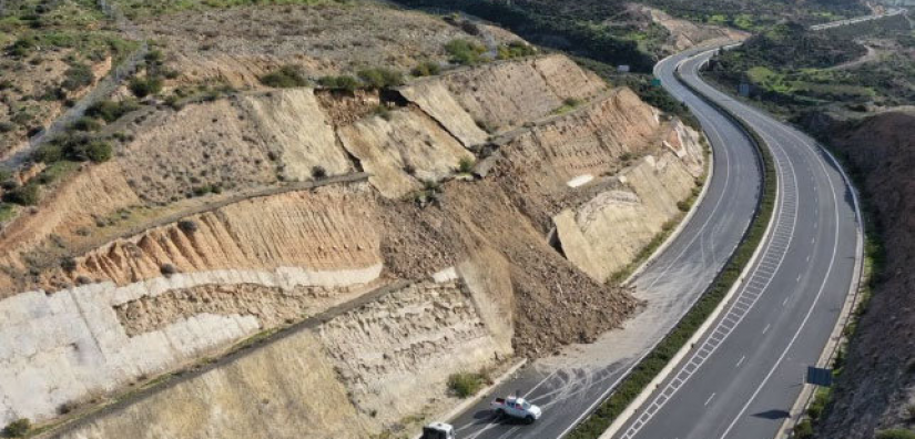
The geology and topography of south-west Cyprus makes it particularly prone to landslides, with over 2500 occurring every year. Despite this, there was a serious lack of accurate, up-to-date information available for this geohazard in this region for several reasons. Most importantly, previous one-off geomorphological observations were conducted using conventional measures across large areas meaning that they took a significant amount of time to complete.
Furthermore, when the susceptibility maps were updated, especially at a nationwide scale, this took even more time meaning that any changes in the meantime would not be reflected in the results. Considering the volatility of climate change, this meant that static results gathered in this way were even less representative of the true situation.
Using InSAR, other data and geotechnical expertise, a methodology was developed for determining a frequently updated landslide susceptibility map for the region. This methodology takes into account assessments of hydrogeological and topographical data for landslide-prone areas, allowing for a flexible map that can be updated with every season.
Highlights
- Conventional geomorphological landslide assessments do not take account of changing factors.
- Combination of InSAR analysis, other data and geotechnical expertise used to develop a landslide susceptibility methodology.
- Susceptibility map updated every season with new data.