Assessing Wildfire Damage
Measure burnt areas and burn severity.
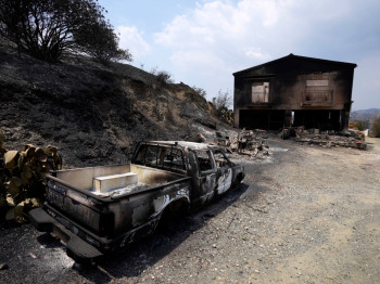
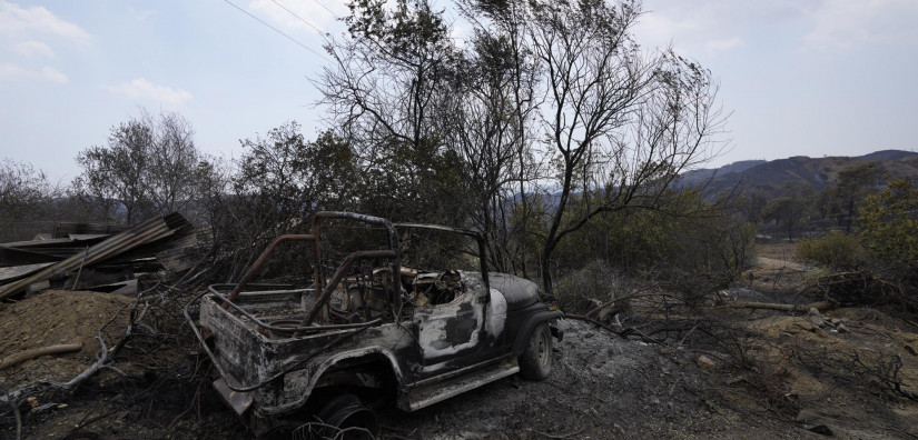
Cyprus has suffered some of the worst forest fires in its history over the last ten years, the most devastating of which occurring in the summer of 2021. An innovative solution for rehabilitation and recovery methods for affected areas, the assessment of damage extent, and the development of maps to better inform authorities on potential future events, would be invaluable.
Stakeholders and regional municipalities required susceptibility maps for areas that were in danger of suffering fires in the future. Moreover, while fires were burning, tracking their development was also needed.
Once the fire had subsided, burn sear maps were necessary to examine the extent of damage to the affected environment. Low resolution satellite imagery provided information on general locations, spatial distributions, and the temporal evolution of fires. High resolution images were used to “zoom in” on the hotspot to accurately locate individual fires.
The distribution of smoke plumes in combination with prevailing wind conditions provide early warnings for possible spreading of smoke to neighbouring locations. As a result, early detection and management of forest fires including the early detection of hotspots, prediction of the direction of smoke travel and the extent of damage to an area.
Highlights
- Following the devastating Cyprus wildfires of July 2021, information was needed to plan rehabilitation measures and determine the extent of damage.
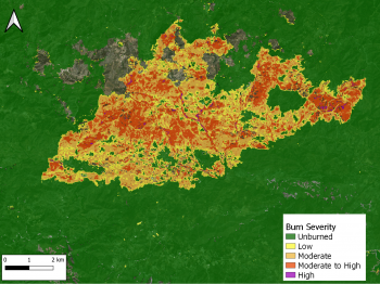
- A burnt area of 38 square kilometres was determined by satellite image analysis.
- Burn severity was also mapped from the same Sentinel-2 images.