Establish Cause
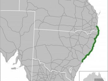
Construction activity near an existing river bridge in New South Wales, Australia, sparked concerns of potential displacements, prompting a debate over whether the observed movements were attributable to the ongoing construction of or had predated the project. The absence of recorded displacement data further complicated the assessment of causality. To address this uncertainty, InSAR (Interferometric Synthetic Aperture Radar) analysis emerged as a powerful tool for discerning bridge displacements over specific timeframes.
Satellite remote sensing, in conjunction with the expertise of geotechnical engineers, facilitated a comprehensive evaluation of the bridge’s displacements both before and during the construction works. This innovative approach not only provided a reliable record of the displacements but also enabled a nuanced understanding of the temporal dynamics. By coupling InSAR technology with expert interpretation of the construction activities’ impact, a comprehensive and conclusive assessment of the displacements along the bridge was achieved. This multifaceted analysis not only resolved the dispute regarding the origin of the displacements but also highlighted the efficacy of integrating satellite-based remote sensing with domain-specific expertise to elucidate complex scenarios in civil engineering and infrastructure development.
Highlights
-
Collection and analysis of existing information including construction drawings and programme.
-
InSAR analysis prior to and during construction with engineering interpretation of construction effects.
-
Establish reliable cause of the bridge displacements.
-
Evidence used to help settle the case.