Not Expensive, Just Expansive
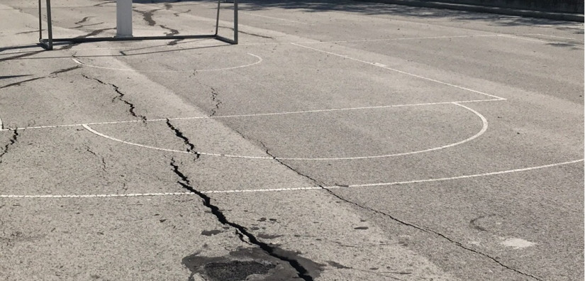
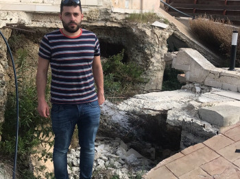
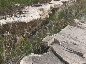
Traditionally, mapping the susceptibility of buildings and infrastructure to the detrimental effects of swelling clays relied on large-scale assessments grounded in geological and climatic factors. However, an innovative feasibility study conducted on the expansive clays of Cyprus has reshaped this approach. This study demonstrated the susceptibility mapping can be conducted a highly detailed level, down to individual buildings, by incorporating satellite data of historical displacements and soil moisture information into specially calibrated algorithms.
Moreover, by integrating historical displacement data obtained from satellite observations and quantifying soil moisture levels through remote sensing, the study achieved a granular understanding of the susceptibility of structures to swelling clays. This departure from conventional methods not only revolutionises the precision of susceptibility assessments but also holds significant implications for risk mitigation and infrastructure planning. Calibrated algorithms can still capture the intricate interplay of geological and climatic factors but also consider dynamic environmental variables, providing a more accurate and nuanced portrayal of the vulnerability of individual buildings to swelling clays.
Highlight
- Conventional mapping is large scale based on geology and climate alone
- InSAR analysis identified the areas susceptible to swelling clays with detail down to individual buildings
- Combined satellite image analysis and geotechnical data enabled the development of susceptibility modeling for swelling clays.