Our capabilities are best illustrated by previous work as summarised in these case studies filtered by service and industry. Feel free to contact us for further information on any of these projects.
All Services
Infrastructure
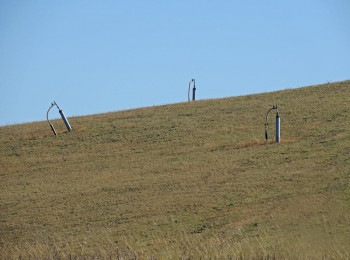
Is That Landfill Done Settling?
See how satellite data added insight to the site investigation of an old landfill.
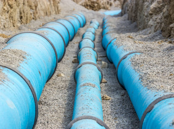
Where The Water Goes
Learn how an integrated GIS is leading to improved management of water supply assets.
Can you build on landfill?
Find out how to better manage the risk of building on landfills with satellite data and engineering insight.
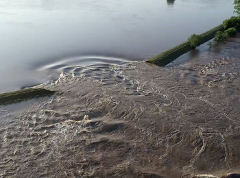
Holding Back the Flood
Levee breaches can be disastrous. Monitor levee condition with satellite data and engineering know-how.
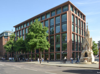
St. Paul's Depths
Sandwiched between St. Paul's Cathedral, Underground lines and adjacent buildings, read how this basement deepening achieved planning approval.

Steel Basement
Advanced site testing and analysis were needed for this sheet pile wall basement in Oxford.
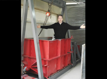
Mechanical Stabilisation
Learn how an entirely new way of engineering analysis brought a revolution in design.
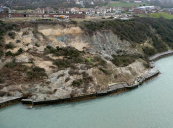
Coastal erosion
Learn how satellite data adds insight to coastal erosion assessments.
How's it going?
Ever wondered how your structure is performing 10 years later? Here's how you do it.