Our capabilities are best illustrated by previous work as summarised in these case studies filtered by service and industry. Feel free to contact us for further information on any of these projects.
Satellite Remote Sensing
Infrastructure
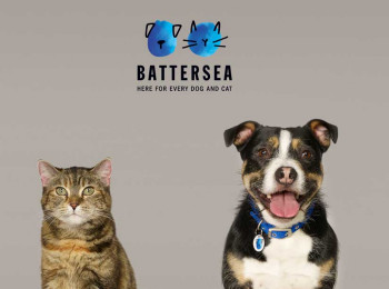
Dog my cats!
Learn how FEA ensured the world-famous dogs home was protected from future tunnelling.
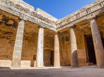
Past Caring
Protecting archaeological heritage with today's technology.
Win A Million!
See how the expense of piled foundations was avoided in spite of the very challenging ground conditions.
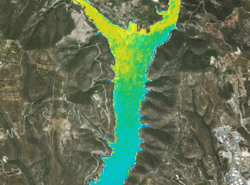
Clear blue water
Learn how to measure river, lake, reservoir and sea water quality by satellite.
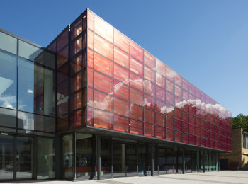
Guiding Light
Read how we are contributing to best practice guidance in our fields of expertise.
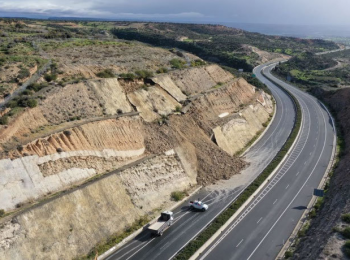
Landslide Susceptibility
Learn how a combination of satellite data with topographical and geological information gives more accurate landslide risk assessments.
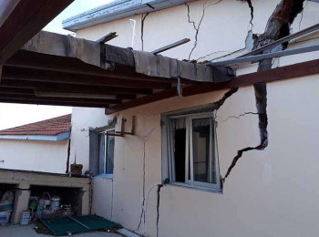
Is my property at risk?
Don't buy property until you know it's stable. Here's how.
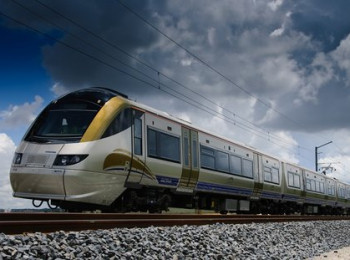
Cover your tracks
Learn how to get network-wide information on railway asset condition.
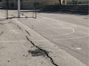
Not Expensive, Just Expansive
The most costly geohazard globally is the humble swelling clay. Here's how to manage the risk.