top of page


Glossary
Welcome to the Geofem Glossary – your resource for key terms in satellite remote sensing, InSAR monitoring, and geohazard analysis. This glossary explains technical concepts in clear, simple language to help mining, infrastructure, and environmental professionals better understand the science behind ground displacement monitoring, soil moisture detection, and landslide or subsidence risk mapping.

Amplitude

Backscatter

Commercial Data
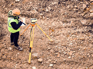
Geotechnical Tests

Incidence Angle

Liquid Limit

Permeability

Seepage Analysis

Speckle Filtering

Angle of Internal Friction

Bearing Capacity

Digital Elevation Model

Geosynthetics

Line of Sight (LOS)

Look Angle

Phase Difference

Small Baseline Subset (SBAS)

The Mohr-Coulomb Failure Criterion

Ascending & Descending Orbits

Coherence Mapping


Ground Deformation

Liquefaction
Orthorectification


Spatial Resolution

Triaxial Compression Test
bottom of page