top of page


Satellite Remote Sensing Blog


Protecting hydropower infrastructure: How InSAR detects dam geohazards early
A dam holding back billions of tonnes of water is a symbol of immense power. But what if its greatest threat isn't a dramatic earthquake, but an unnoticed shift in the ground no bigger than the thickness of a coin? For the world’s critical hydropower infrastructure, this early invisible danger is one of the most serious risks. These tiny movements—a slow sinking of the ground or a subtle deformation in the concrete—are key indicators of potential geotechnical or structural
Feb 34 min read


The Future of Tailings Dam Monitoring in 2026: AI Automation & Space Technology
Discover how AI automation and space technology are revolutionising tailings dam monitoring, enhancing risk assessment and environmental impact management.
Jan 163 min read


Strengthening Tailings Dams Resilience in a Changing Climate: The Rising Role of InSAR Monitoring
In the evolving mining landscape, the resilience of tailings infrastructure against climate change is paramount. As global temperatures rise and extreme weather events become more frequent, the safety of mining operations is increasingly scrutinised. Given the large volumes of reactive or contaminated material stored in TSFs, any loss of containment can result in major environmental damage and high-consequence financial repercussions. The introduction of the Global Industr
Dec 22, 20254 min read


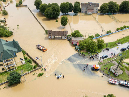
Meet HYDRIS: The Satellite-Powered Breakthrough in Flood Risk Intelligence
Flooding is the world’s costliest natural disaster, and its impacts are escalating. The United Nations Office for Disaster Risk Reduction reports that floods make up 35–40% of all weather-related disasters. Between 1970 and 2019, water-related hazards accounted for half of all disasters and 45% of reported deaths, and since 2000, recorded flood events have surged by 134%. Yet despite this growing risk, most flood-forecasting systems still rely on coarse soil-moisture data, l
Dec 12, 20252 min read


Monitoring Sand in its Tracks: How Geofem’s SANDetect Solution Protects Transport Networks from Major Disruptions
As climate change intensifies, sandstorms are growing stronger and more frequent, turning once-passable roads and railways into shifting obstacles. Across the world’s arid and semi-arid regions, desertification is advancing, and with it, thousands of kilometres of transportation networks face mounting disruption, rising maintenance costs, and serious safety risks. The challenge: confronting sand to ensure infrastructure resilience Sand accumulation on transportation corri
Nov 24, 20252 min read


How Satellite Technology is Helping Engineers Tackle Invisible Landslide Risk on US-191
Beneath the asphalt of US-191 near Utah's Recapture Reservoir, a slow-moving threat has been quietly reshaping the ground. Over a...
Sep 10, 20252 min read


Understanding Orthorectification in Remote Sensing
In remote sensing, orthorectification serves as a fundamental process, crucial for ensuring the accuracy and utility of satellite...
Sep 4, 20253 min read


Optimising Infrastructure Safety: INFINITUS and the Power of Proactive Management
When we think about infrastructure, whether it’s bridges, tunnels, dams, or urban transportation systems, the focus needs to go beyond...
Aug 14, 20256 min read


What is Repeat Pass Interferometry?
Remote sensing technologies have revolutionised the field of geoscience, offering profound insights into the Earth’s dynamic processes....
Aug 12, 20252 min read


Displacement Vectors in Satellite Remote Sensing
Understanding displacement vectors in satellite remote sensing is pivotal for a multitude of geoscientific applications, including...
Aug 12, 20252 min read


Explaining the Mohr-Coulomb Failure Criterion
Understanding why soils and rocks fail is at the heart of geotechnical engineering — and few tools are as fundamental to that...
Aug 12, 20254 min read


Tailings Pond Bathymetry and Soil Moisture Detection by Satellite
You may be aware of satellite technology solutions such as InSAR being deployed by mining companies to monitor and assess Tailings...
Jul 4, 20254 min read


Case Study: The Çöpler Gold Mine Disaster – Satellite Remote Sensing, Soil Moisture, and the Lessons for Mining Safety
Executive Summary On February 13th, 2024, the Çöpler Gold Mine in eastern Türkiye experienced a catastrophic failure of its heap leach...
Jun 22, 20253 min read


Essential Guide to Landslide Risk Factors Everyone Should Monitor
In geotechnical engineering and geohazard management, understanding and monitoring landslide risk indicators is paramount. This intricate...
May 26, 20253 min read


InSAR + Geotechnical Engineering for Tailings Dam Safety
In geoscience and civil engineering, the intersection of satellite remote sensing technologies and geotechnical engineering represents a...
May 20, 20257 min read


Unlocking the Potential of SAR Data Analysis: Techniques and Applications
In an era where data drives decision-making across various sectors, Synthetic Aperture Radar (SAR) data analysis has emerged as a...
May 13, 20256 min read


Landslide Risk Map: A Guide
Landslide risk maps are integral to understanding and managing the dangers posed by landslides. They provide a visual representation of...
May 12, 20258 min read


Tailings Dam Monitoring: Traditional Instruments vs InSAR
In the realm of geoscience, the monitoring of tailings dams is a critical aspect of ensuring environmental safety and structural...
May 7, 20257 min read


Monitoring Mining-Induced Subsidence with InSAR: Lessons from Douglas Park
Longwall mining operations bring undeniable economic benefits - but also a persistent challenge: mining-induced subsidence. Over time,...
Apr 23, 20252 min read


Understanding Soil Mechanics: Key Principles Explained
In simple terms, soil mechanics involves understanding the behaviour of soil as a construction material. Imagine soil as the foundation...
Apr 14, 202515 min read
bottom of page