Cover the waterfront
Cover the waterfront
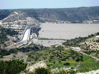
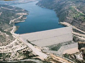
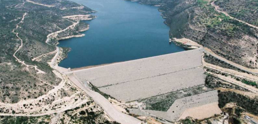
Additional displacement data across the entire surface of the 110m high Kouris dam in Cyprus was needed to supplement the conventional survey data at discrete points and section lines.
The rockfill surface provided an excellent medium for coherent InSAR data with a large number of displacement points obtained whose values matched well with the in-situ monitoring.
Highlights
-
Conventional monitoring provides displacement at discrete points only.
-
A retrospective InSAR analysis obtained a large number of displacement data points across the dam surface.
-
Validated against in-situ monitoring data.