Our capabilities are best illustrated by previous work as summarised in these case studies filtered by service and industry. Feel free to contact us for further information on any of these projects.
All Services
Infrastructure
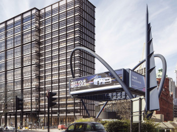
Pile Re-Use
See how settlements of a new building supported on both old and new piles were predicted.
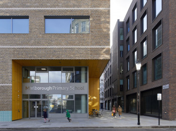
Old School to New School
Learn how a new school basement was designed right over a tunnel.
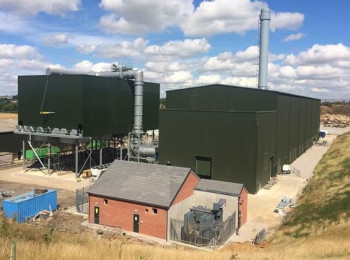
Tight Tolerance
Learn how 3D FEA was used to meet tight machinery settlement tolerances on a raft foundation.
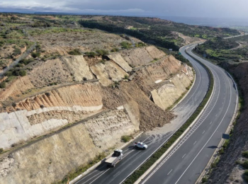
Landslide Susceptibility
Learn how a combination of satellite data with topographical and geological information gives more accurate landslide risk assessments.
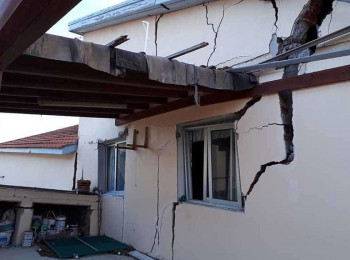
Is my property at risk?
Don't buy property until you know it's stable. Here's how.
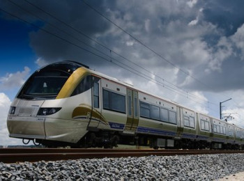
Cover your tracks
Learn how to get network-wide information on railway asset condition.
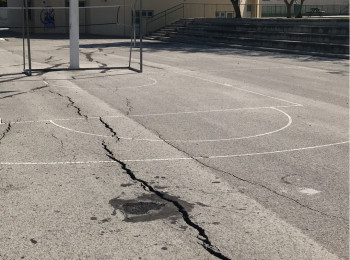
Not Expensive, Just Expansive
The most costly geohazard globally is the humble swelling clay. Here's how to manage the risk.
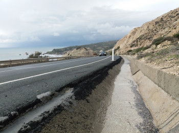
Find the bump in the road
Learn how to get network-wide condition information for your roads.
You Can't Go There
You need to measure displacement but you really can't go there. What do you do?