Our capabilities are best illustrated by previous work as summarised in these case studies filtered by service and industry. Feel free to contact us for further information on any of these projects.
All Services
Insurance
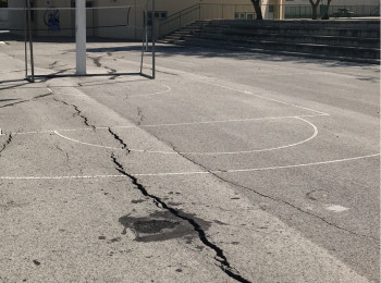
Not Expensive, Just Expansive
The most costly geohazard globally is the humble swelling clay. Here's how to manage the risk.
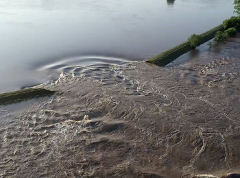
Holding Back the Flood
Levee breaches can be disastrous. Monitor levee condition with satellite data and engineering know-how.
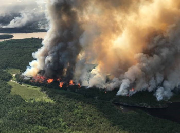
Wildfire Early Detection
Detect and track wildfires in remote areas using satellite data.
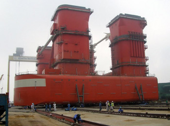
Heavy loadout solution
Read how advanced geotechnical analysis overcame a perennial loadout problem at a shipyard.
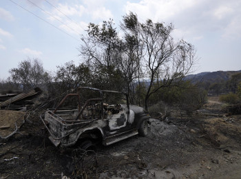
Assessing Wildfire Damage
Measure burnt areas and burn severity after a wildfire.
Establish Cause
Read how satellite data combined with engineering know-how helped establish the cause of bridge displacements.
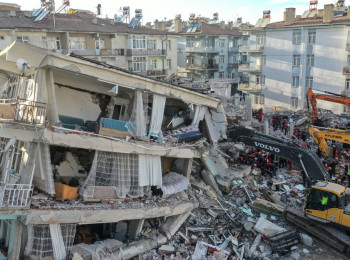
Disaster resilience
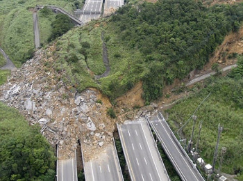
Timely post-event information is key to disaster resilience. Learn how landslides were discovered soon after the Elazig earthquake in Turkey.
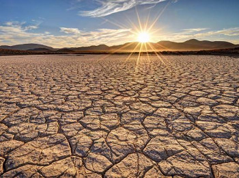
Come rain or shine
Soil moisture has a major effect on susceptibility to some geohazards. Learn how we measure it by satellite.
Space Forensics
Learn the value of satellite technology and engineering know-how in forensic investigations.