Our capabilities are best illustrated by previous work as summarised in these case studies filtered by service and industry. Feel free to contact us for further information on any of these projects.
All Services
Energy
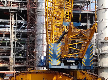
How Refined!
Read how 3D FEA was used to check crane platform settlement at this refinery in India.
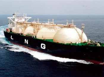
Liquefy Your Assets
Learn how we provided local permitting support for a regional LNG plant in Cyprus.
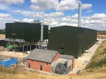
Tight Tolerance
Learn how 3D FEA was used to meet tight machinery settlement tolerances on a raft foundation.
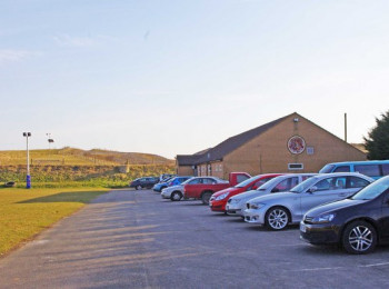
Can you build on landfill?
Find out how to better manage the risk of building on landfills with satellite data and engineering insight.
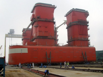
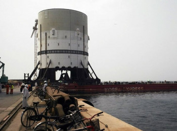
Heavy loadout solution
Read how advanced geotechnical analysis overcame a perennial loadout problem at a shipyard.
Full Potential
See how advanced testing and analysis got the most out of this quay wall.
Reaching for the Skies
Read how the effect of a heavy crane load on adjacent piled foundations in soft ground was assessed.
Combining Data in GIS
There is no better way to combine and display location data than in a GIS environment.
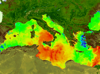
Offshore Environments
Monitor the offshore environment remotely by satellite.