Our capabilities are best illustrated by previous work as summarised in these case studies filtered by service and industry. Feel free to contact us for further information on any of these projects.
GIS
All Industries
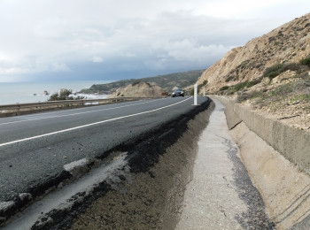
Landslide Susceptibility
Learn how a combination of satellite data with topographical and geological information gives more accurate landslide risk assessments.
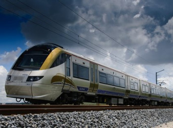
Cover your tracks
Learn how to get network-wide information on railway asset condition.
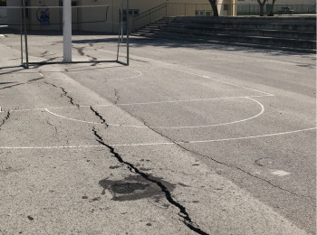
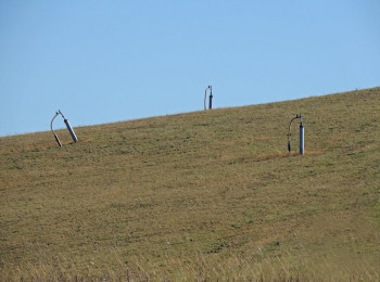
Not Expensive, Just Expansive
The most costly geohazard globally is the humble swelling clay. Here's how to manage the risk.
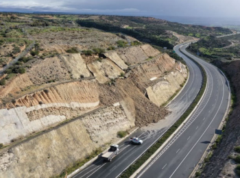
Find the bump in the road
Learn how to get network-wide condition information for your roads.
Is That Landfill Done Settling?
See how satellite data added insight to the site investigation of an old landfill.
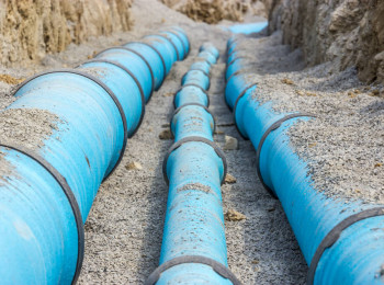
Where The Water Goes
Learn how an integrated GIS is leading to improved management of water supply assets.
Combining Data in GIS
There is no better way to combine and display location data than in a GIS environment.
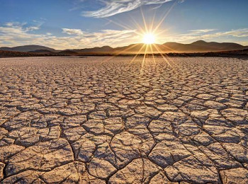
Come rain or shine
Soil moisture has a major effect on susceptibility to some geohazards. Learn how we measure it by satellite.