Our capabilities are best illustrated by previous work as summarised in these case studies filtered by service and industry. Feel free to contact us for further information on any of these projects.
Satellite Remote Sensing
All Industries

Validated Satellite Data
Mining-induced ground movements measured by satellite were found to agree well with ground-based data.
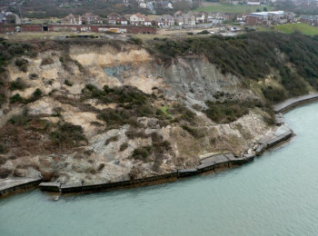
Coastal erosion
Learn how satellite data adds insight to coastal erosion assessments.
How's it going?
Ever wondered how your structure is performing 10 years later? Here's how you do it.
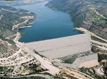
Cover the waterfront
Dam failures can be catastrophic so monitor them well. Here's how to get complete surface coverage.
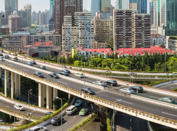
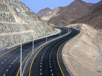
Built up
Learn how to map the susceptibility of the buildings and infrastructure of our urban landscapes.
Artificial intelligence
Learn how our Marie-Curie action is bringing artificial intelligence to infrastructure asset management.
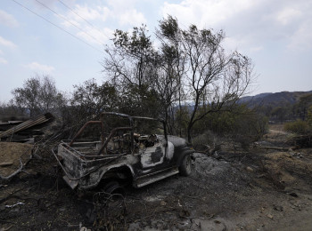
Assessing Wildfire Damage
Measure burnt areas and burn severity after a wildfire.
Establish Cause
Read how satellite data combined with engineering know-how helped establish the cause of bridge displacements.
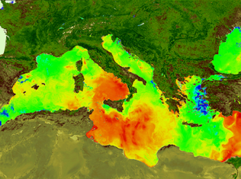
Offshore Environments
Monitor the offshore environment remotely by satellite.