Our capabilities are best illustrated by previous work as summarised in these case studies filtered by service and industry. Feel free to contact us for further information on any of these projects.
Satellite Remote Sensing
All Industries
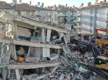
Disaster resilience
Timely post-event information is key to disaster resilience. Learn how landslides were discovered soon after the Elazig earthquake in Turkey.
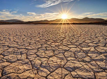
Come rain or shine
Soil moisture has a major effect on susceptibility to some geohazards. Learn how we measure it by satellite.
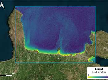
Hidden depths
Cover wide areas with shallow-water bathymetry by satellite.
Space Forensics
Learn the value of satellite technology and engineering know-how in forensic investigations.
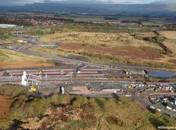
Settle Down
Learn how reclamation settlements can be measured over large areas.
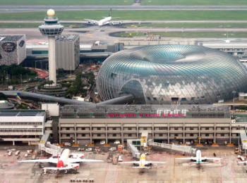
Ring The Changes
Monitor land cover changes over time using satellite imagery.
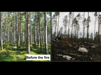
Peat Pockets
Read how a new embankment constructed on soft peat pockets led to the Fleming Award shortlist.
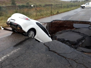
That Sinking Feeling
Learn how to get early warning of sinkholes.
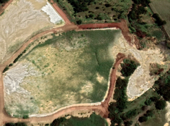
Tailings Dam Failure
Read how a tailings dam failure in South Africa could have been foreseen by satellite data.